
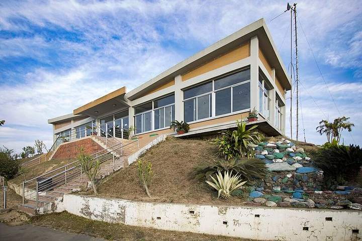
Bandarban
Home of the country's highest hills: a kingdom of clouds, waterfalls and hill-community culture.
টিপস
- রুমা-থানচি রুটে জাতীয় পরিচয়পত্রের কয়েক কপি ফটোকপি রাখুন
- বর্ষায় ঝিরিপথ আর খুমে ঢলের ঝুঁকি থাকে
- পাহাড়ি গ্রামে ছবি তোলার আগে অনুমতি নিন
নিরাপত্তা ও জরুরি
- পাহাড়ি পথে একা যাবেন না, স্থানীয় গাইড নিন আর সন্ধ্যার আগে ফিরুন; নিরাপত্তা চেকপোস্টে পরিচয়পত্র দেখাতে হতে পারে
- নৌকায় লাইফ জ্যাকেট পরুন, অতিরিক্ত যাত্রীর নৌকায় উঠবেন না, আর ঝড়ের সংকেত থাকলে নদী-হাওরে যাবেন না
- জরুরি নম্বর: ৯৯৯ (পুলিশ, ফায়ার সার্ভিস, অ্যাম্বুলেন্স), ১৬২৬৩ (স্বাস্থ্য বাতায়ন), ৩৩৩ (সরকারি তথ্যসেবা)
Parts of this guide are still in Bangla — the English translation is in progress.
Places to visit25
Most popular first — tap a card for photos, history and how to get there
Nilgiri
প্রায় ২,২০০ ফুট উঁচুতে; ভোরে মেঘ পায়ের নিচে দেখা যায়।
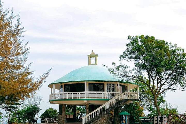
Nilachal
শহরের কাছের পাহাড়চূড়া; সূর্যাস্ত আর পাহাড়ের সারির দৃশ্য।
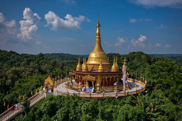
Buddha Dhatu Jadi
পাহাড়চূড়ায় সোনালি রঙের থেরবাদী বৌদ্ধ মন্দির।
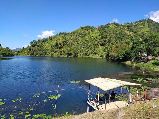 PopularBest time right nowPhoto: Rocky Masum
This work was made by Masum-al-Hasan Rocky and released under · CC BY-SA 4.0
Boga Lake
প্রায় ১,২০০ ফুট উঁচুতে প্রাকৃতিক লেক; কেওক্রাডং যাওয়ার পথে থাকা যায়।
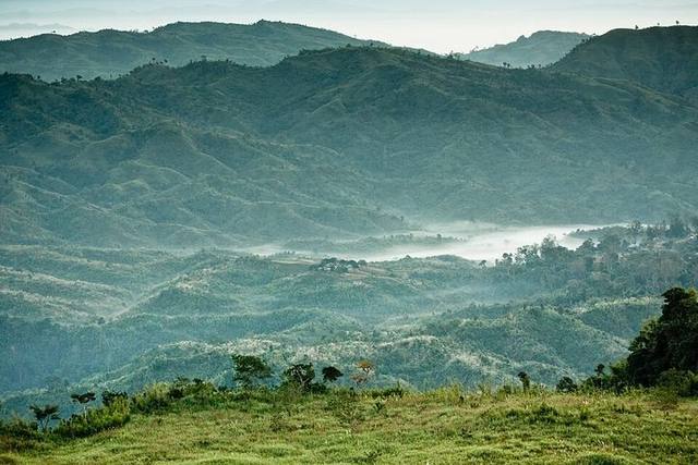
Keokradong
দেশের অন্যতম উঁচু পাহাড়চূড়া; ট্রেকারদের প্রিয় গন্তব্য।
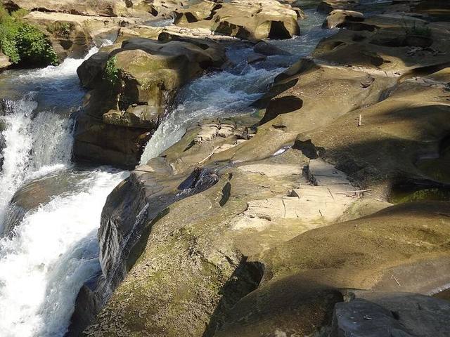
Nafakhum Waterfall
সাঙ্গু নদীর উপর দেশের বড় জলপ্রপাতগুলোর একটি।
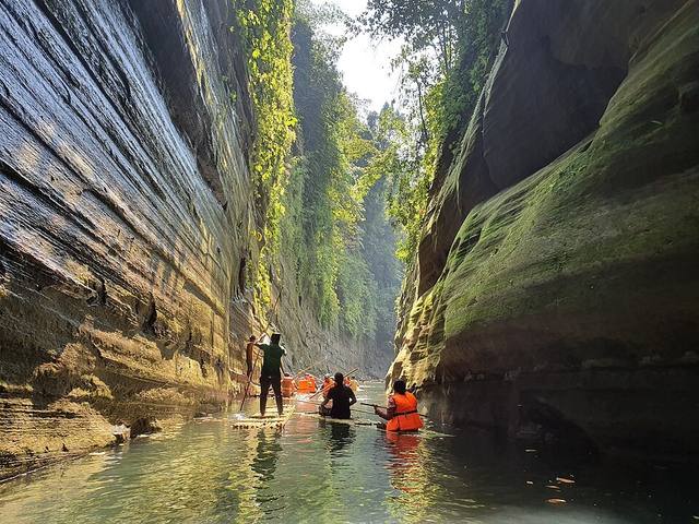
Debotakhum
দুই পাশে খাড়া পাথরের দেয়ালের মাঝে গভীর, ঠান্ডা পানির খুম; বাঁশের ভেলায় ভেসে ভেতরে যেতে হয়।
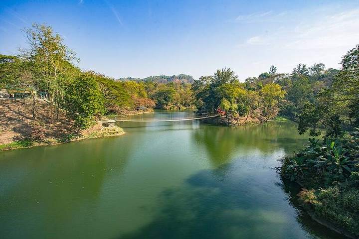
Meghla
লেক, ঝুলন্ত সেতু আর ক্যাবল কার নিয়ে পরিবার নিয়ে ঘোরার জায়গা।
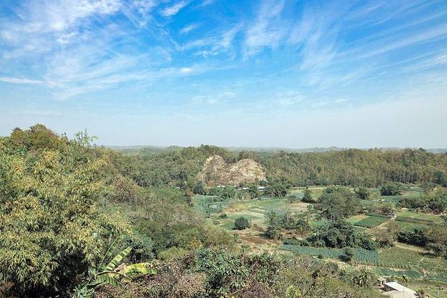
Chimbuk
নীলগিরির পথে উঁচু পাহাড়; ম্রো গ্রাম আর মেঘের দৃশ্য।
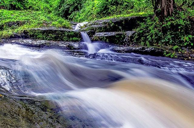
Shoilo Propat
রাস্তার পাশেই ছোট ঝর্ণা; বম জনগোষ্ঠীর তাঁতের জিনিস কেনা যায়।
Tazing Dong
থানচির গভীরে দেশের অন্যতম উঁচু পাহাড়চূড়া।
Saka Haphong
মিয়ানমার সীমান্তে দেশের সর্বোচ্চ চূড়া হিসেবে পরিচিত পাহাড়।
Amiakhum
নাফাখুম ছাড়িয়ে গভীর পাহাড়ে বিশাল ধাপের ঝরনা।
Tinap Saitar Waterfall
রোয়াংছড়ির গহীনে প্রশস্ত ধারার বড় ঝরনা।
Rijuk Waterfall
রুমার কাছে সাঙ্গু নদীতে সরাসরি পড়া ঝরনা।
Jadipai Waterfall
কেওক্রাডংয়ের ওপারে পাসিং পাড়ার নিচে বিশাল ঝরনা।
Dim Pahar
আলীকদম–থানচি সড়কের উঁচু অংশ, মেঘের ওপর রাস্তা।
Mirinja Valley
লামার পাহাড়চূড়ায় মেঘ দেখার ভিউপয়েন্ট।
Alir Suranga
আলীকদমের পাহাড়ি ঝিরিতে প্রাকৃতিক সুড়ঙ্গ গুহা।
Tindu
থানচির উজানে সাঙ্গু নদীর বড় পাথর আর পাহাড়ি পাড়া।
Prantik Lake
বান্দরবান-কেরানীহাট সড়কের কাছে বনঘেরা শান্ত লেক।
Jogi Haphong
সীমান্তঘেঁষা খাড়া চূড়া, কঠিনতম ট্রেকগুলোর একটি।
Baklai Waterfall
থানচির বাকলাই পাড়ার পাশে উঁচু ঝরনা।
Damtua Waterfall
আলীকদমের গভীরে দুই ধাপে পড়া চওড়া ঝরনা।
Marayon Tong
আলীকদমের পাহাড়চূড়া, ক্যাম্পিং আর মেঘ দেখার জায়গা।
Famous food
What you mustn't miss here
Famous products & shopping
Take home as a keepsake or a gift
Where to stay11
In the district town and near popular spots
How to get there
Travel from Dhaka and approximate fares
Verified local guides
Local guides for Bandarban — our team has verified their identity and phone number
No verified guides in Bandarban yet.
Agree prices and terms with the guide in advance — they are between you and the guide. "Paid listing" guides appear first; this has no effect on the tour planner. Are you a guide here? Get listed →
Emergency numbers · Bandarban
- 999National emergency servicePolice, fire service, ambulance — free of charge
- 16263Health line (Shastho Batayon)Doctor's advice, 24 hours
- 16163Fire serviceFire, rescue, accidents
- 109Women & children helplineViolence prevention helpline
Local police and hospital numbers for Bandarban haven't been added yet — in an emergency call 999.
Traveller experiences
Ratings, real costs and tips from people who have visited Bandarban — checked before publishing
No reviews yet — if you've been to Bandarban, write the first one!
Log in to write a review — only people who have visited the district can.
Nearby districts
Add them to the same trip